What is the Université d’Eté? What topics were addressed?
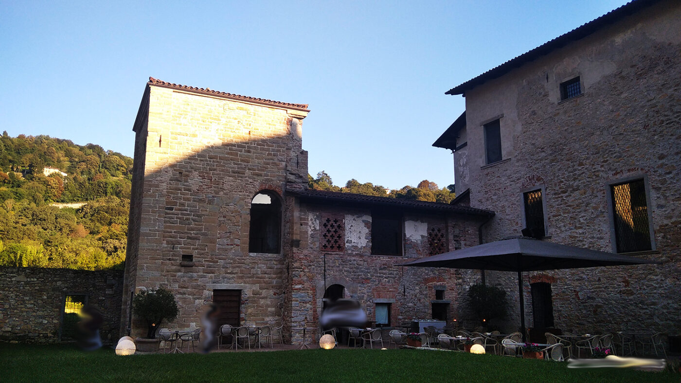
Université d’Eté is an in-depth event for professionals that was held on 9 September at the Monastery of Astino, therefore in a delightful setting, during the Landscape Festival “The Masters of the Landscape”.
This year there was talk of PROFESSIONS FOR LANDSCAPE and it was a stimulating afternoon full of design and construction suggestions for the growth of the concept of landscape in Italy.
How is the territory taken care of? Why can and should new landscape professionals be trained?
A discussion on these topics was possible thanks to the skilful organization of the Arketipos association.
I was undecided on how to deal with this afternoon’s information transfer, however, to savor each step, I decided to divide it into 3 parts and report the interventions as they were without journalistic interference.
So here are the pregnant interventions of the guests and good reading.
Université d’Eté: Landscape professions
Speech by Sergio Gandi – Deputy Mayor of Bergamo
Why are millennials asking for two things: connection and sustainable development?
There are five pillars that must be kept in mind in the future:
- The Connection, intended as a link, is essential.
- The attractiveness of a territory also derives from the quality of its projects, and its way of life derives from the quality of the results of the projects themselves.
- Resilience, composed in this field of all the elements of soil defense, adaptation to climate change, etc. For example, the ways in which it is necessary, for each municipality, to try to predict the adaptation of its territory to those conditions that we know have been declined.
- Land consumption, Lombardy was the first region, in which no new buildings can be made since 2014 in addition to those already planned for 2014. We checked and saw that new buildings were 25% lower by 2020.
- The Landscape. The two strategic projects that are being carried out are the regional ecological network and the regional green network. I can assure you that the difficulty of these plans is the consultation between the regional directorates and the institutions.
Although the will is strong, it is the modalities that create some problems.
How is the territory taken care of? Why is geo-historical localization important?
I would like to recall, within the green network project, what we call geographical areas of the landscape, that is, the areas of planning of the territory from the point of view of the landscape through a geo-historical analysis.
Who carried out the geo-historical analysis for the Bergamo Province?
This analysis was carried out by prof. Ferlinghetti of the University of Bergamo and serves to make known the area and those elements that are important from a landscape point of view.
It may seem trivial, but every municipality, despite having by constitution the competence of its own territory, often does not know it in relation to the surrounding area.
A short time ago, the project by a recognized landscape architect in the province of Bergamo did not consider that the area was the intersection between the Carolingian road and the Francigena road. From the point of view of the landscape, that was fundamental information that the municipality did not have.
If the specific characteristics of a place are not considered, the project can be suitable for New York, Milano and Sydney. One cause is the lack of contextualization of the territory.
In summary, the geo-historical analyzes allow this contextualization that gives all those who have to act on that territory at a landscape level the tools to create a targeted project.
The hope is therefore to highlight these experiences, like today, to find a concrete application and introduce them in the observatory.
Every year, the Lombardy Region draws up an observatory report on territorial planning and for two years this report has focused on a specific area.
Last year was that of land consumption with the data I have reported above.
This year it will be on local IT systems and this is also an important element of knowledge.
We are projecting ourselves towards digitized territorial government plans and I hope for the next year both on the landscape.
Our aim is to sow this knowledge and these tools.
I must admit that the conflict exists between the Region and the Ministry, in fact, to date only 5 landscape plans have been approved in all of Italy. After approval, it takes tens of years to verify the landscape constraints.
It took the Lazio region 22 years to cover 400 bonds, Piedmont 10 years to cover 300 bonds, Lombardy there are 887 bonds. After this step the region must conform its instruments according to the co-verified landscape plan.
Tuscany, ahead of all, finished co-checking in 2016 and had 270 constraints. To date, they have brought 5 regulatory plans into compliance. In summary, this poses critical issues that need to be resolved.
Thanks for your attention.
Université d’Eté: Landscape professions
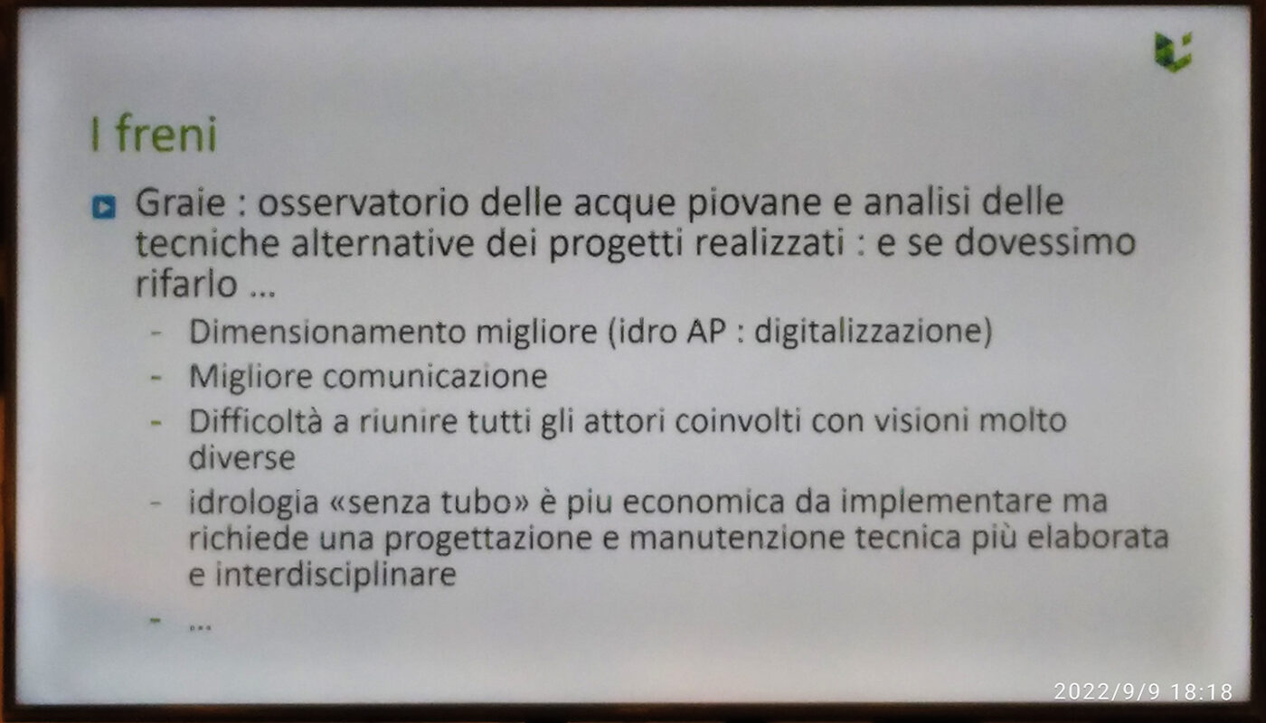
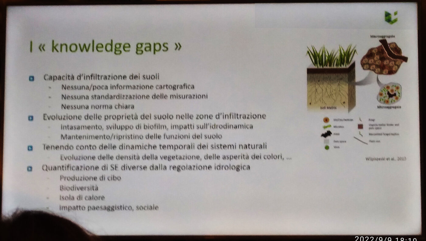
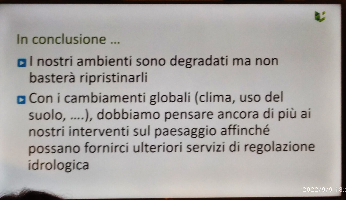
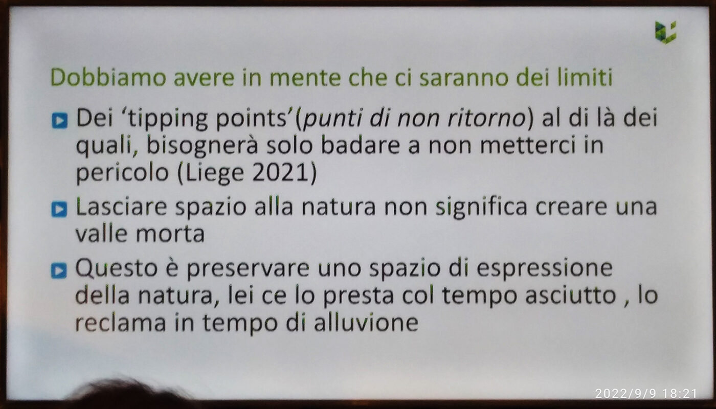
Speech by Prof. Aurore Degré, head of the Master in Environmental Sciences and Technologies and Deputy Dean of the Faculty of Gembloux (Belgium)
How is the territory taken care of?
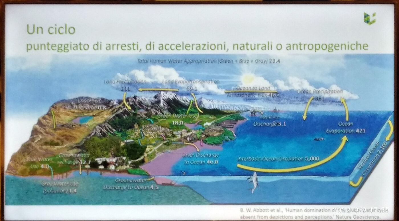
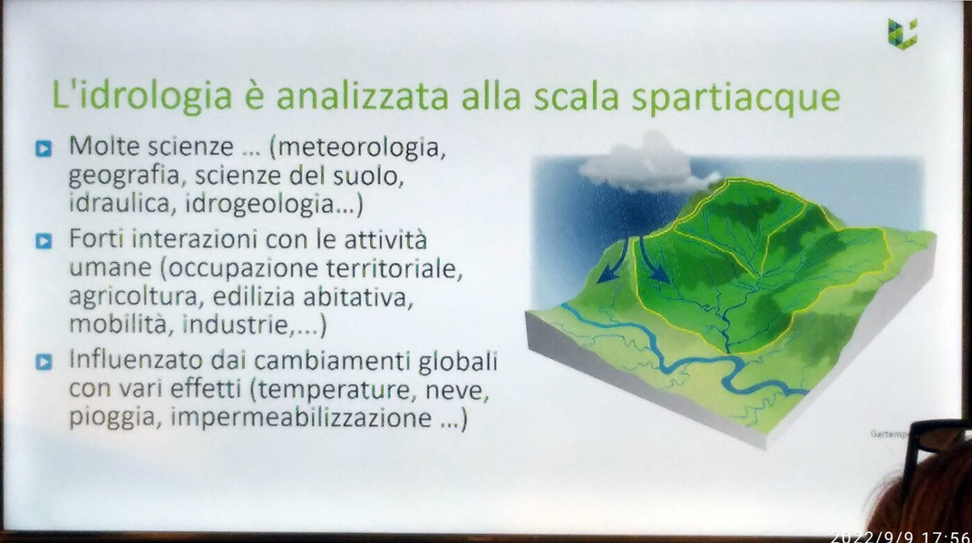
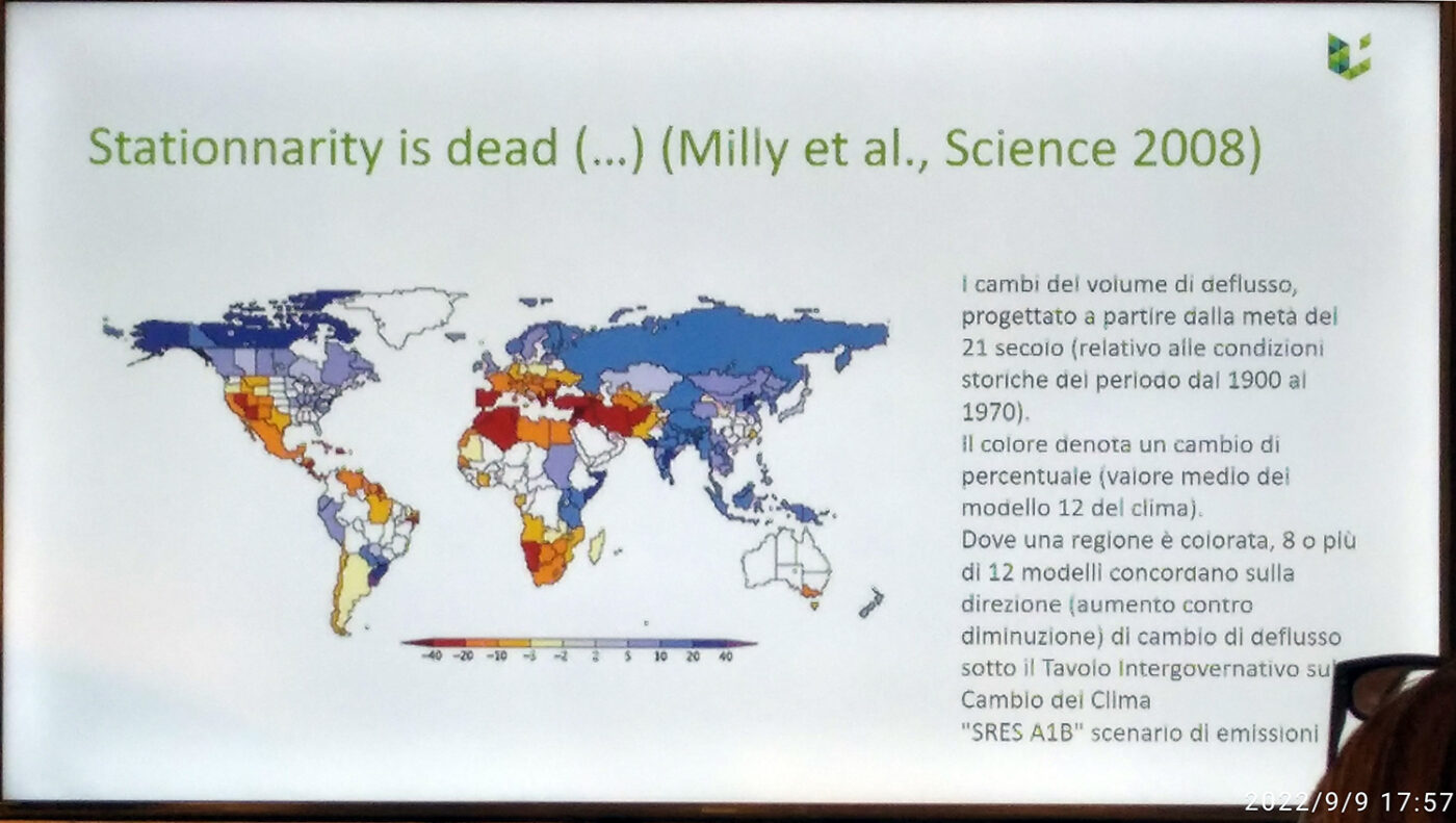
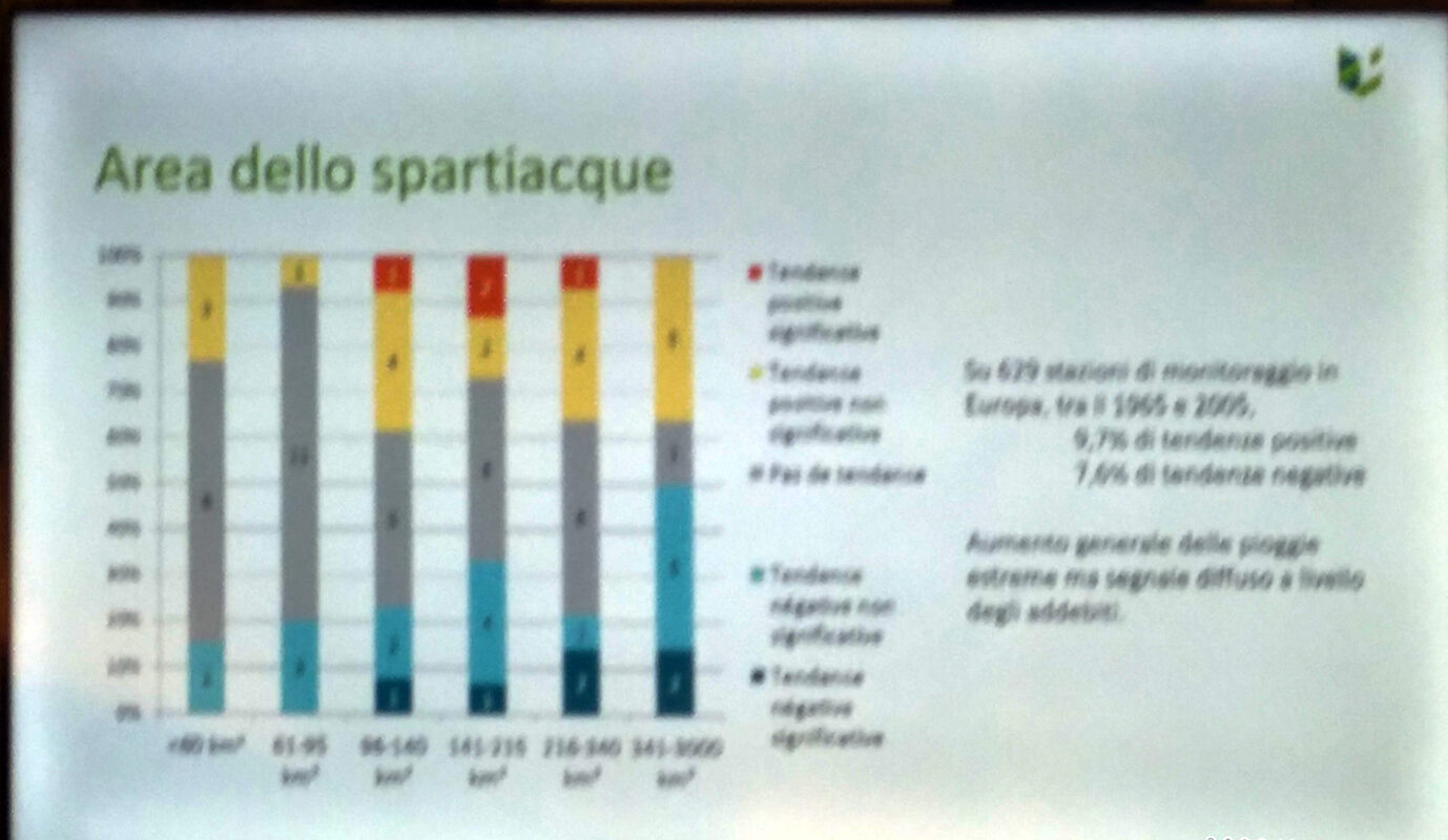
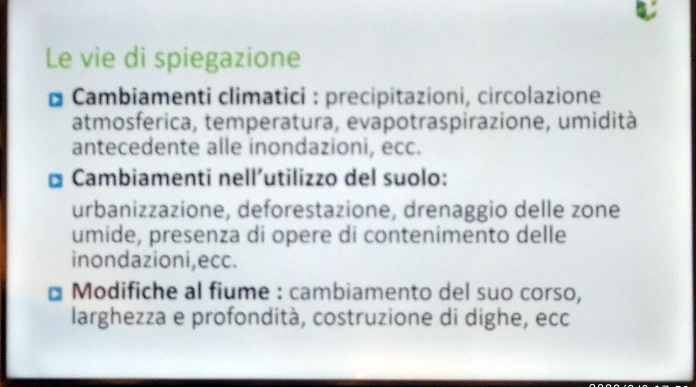
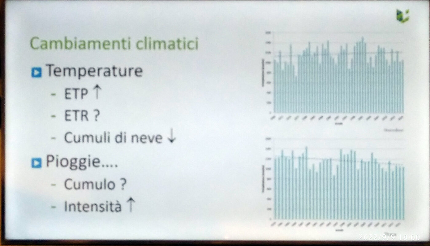
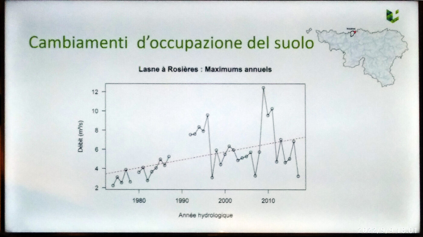
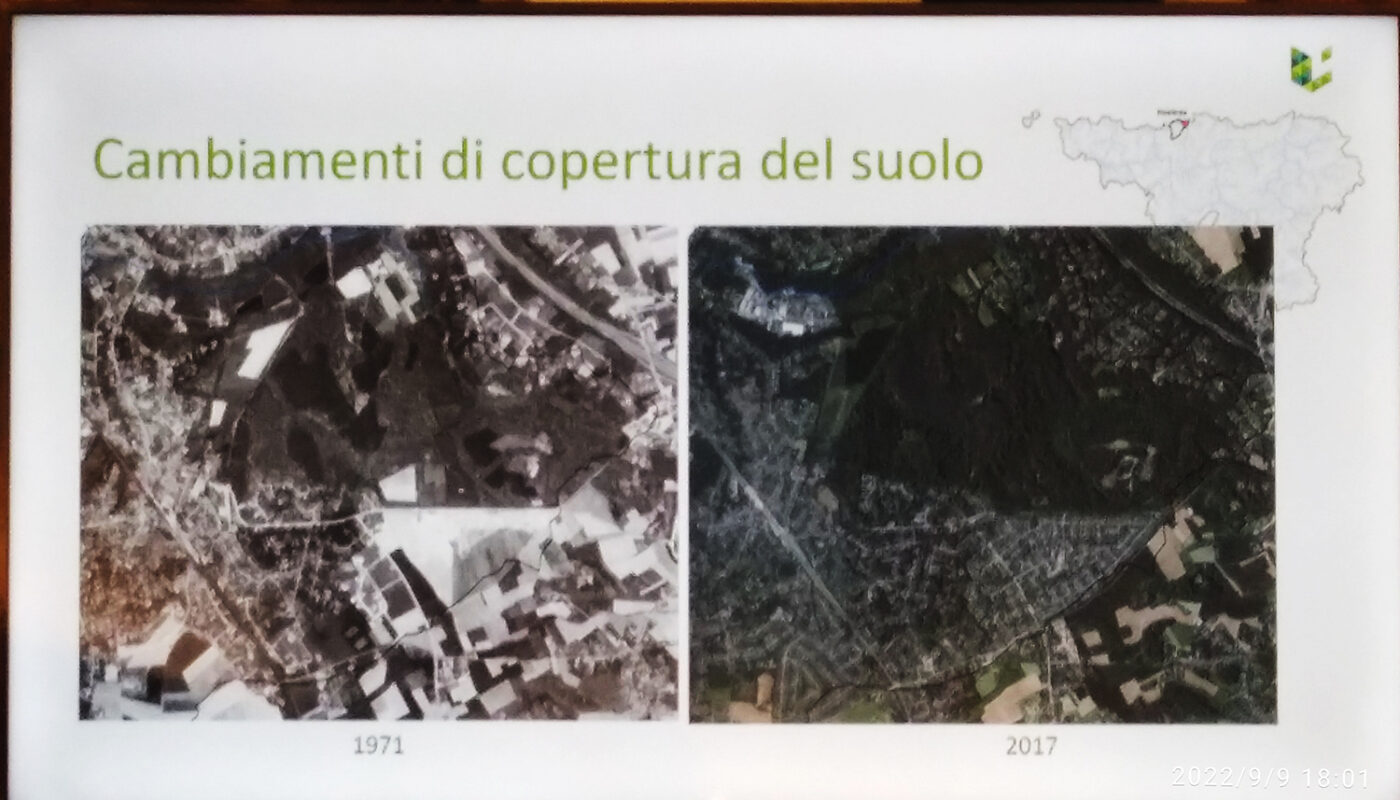
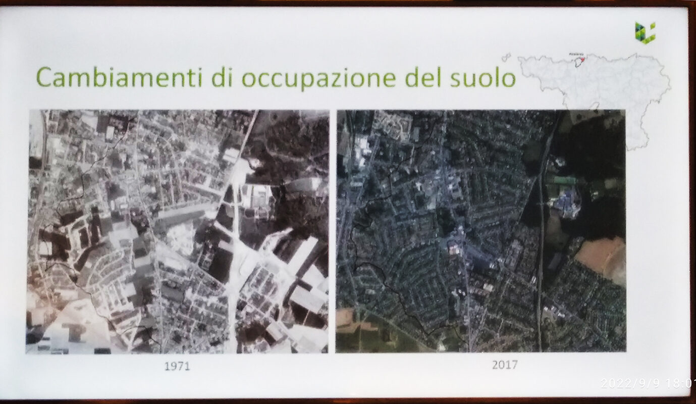
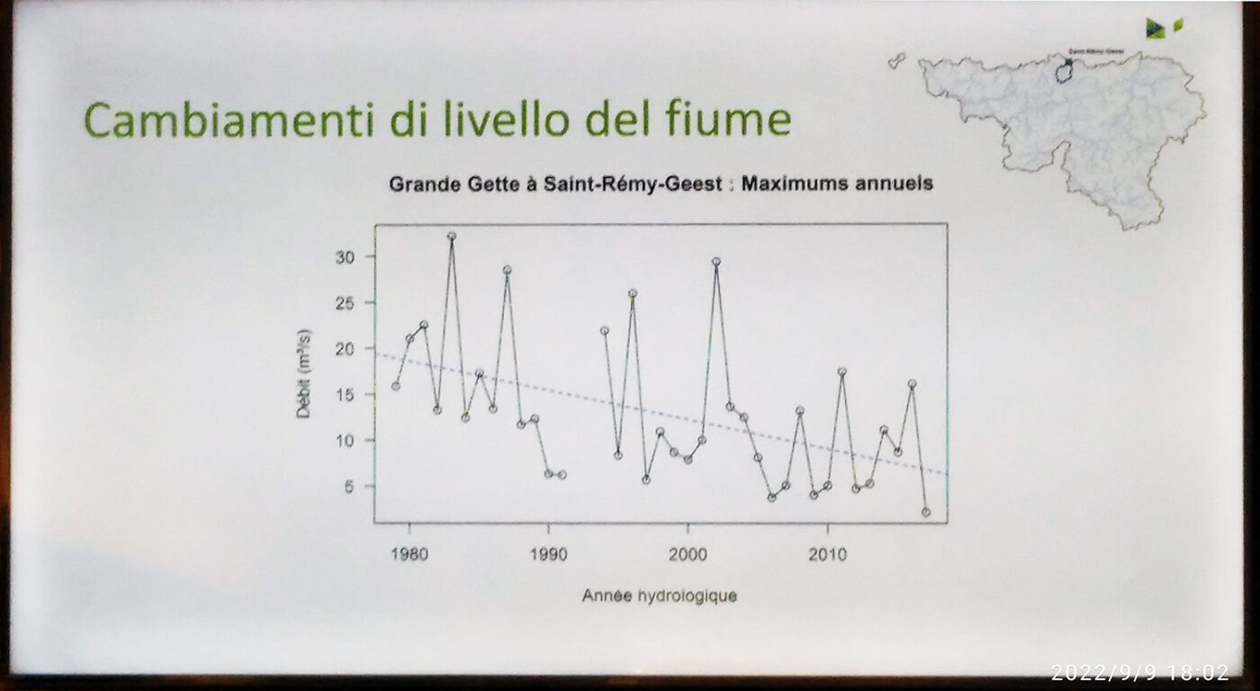
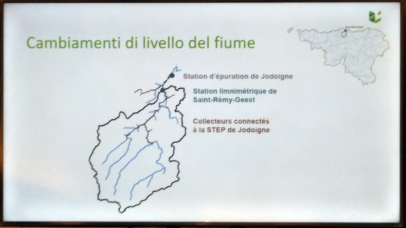
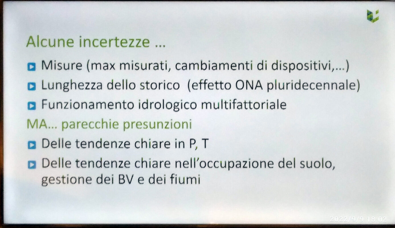
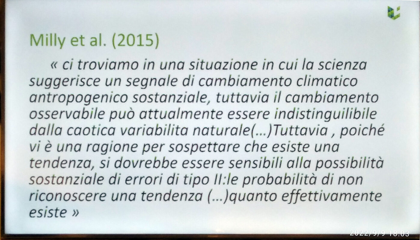
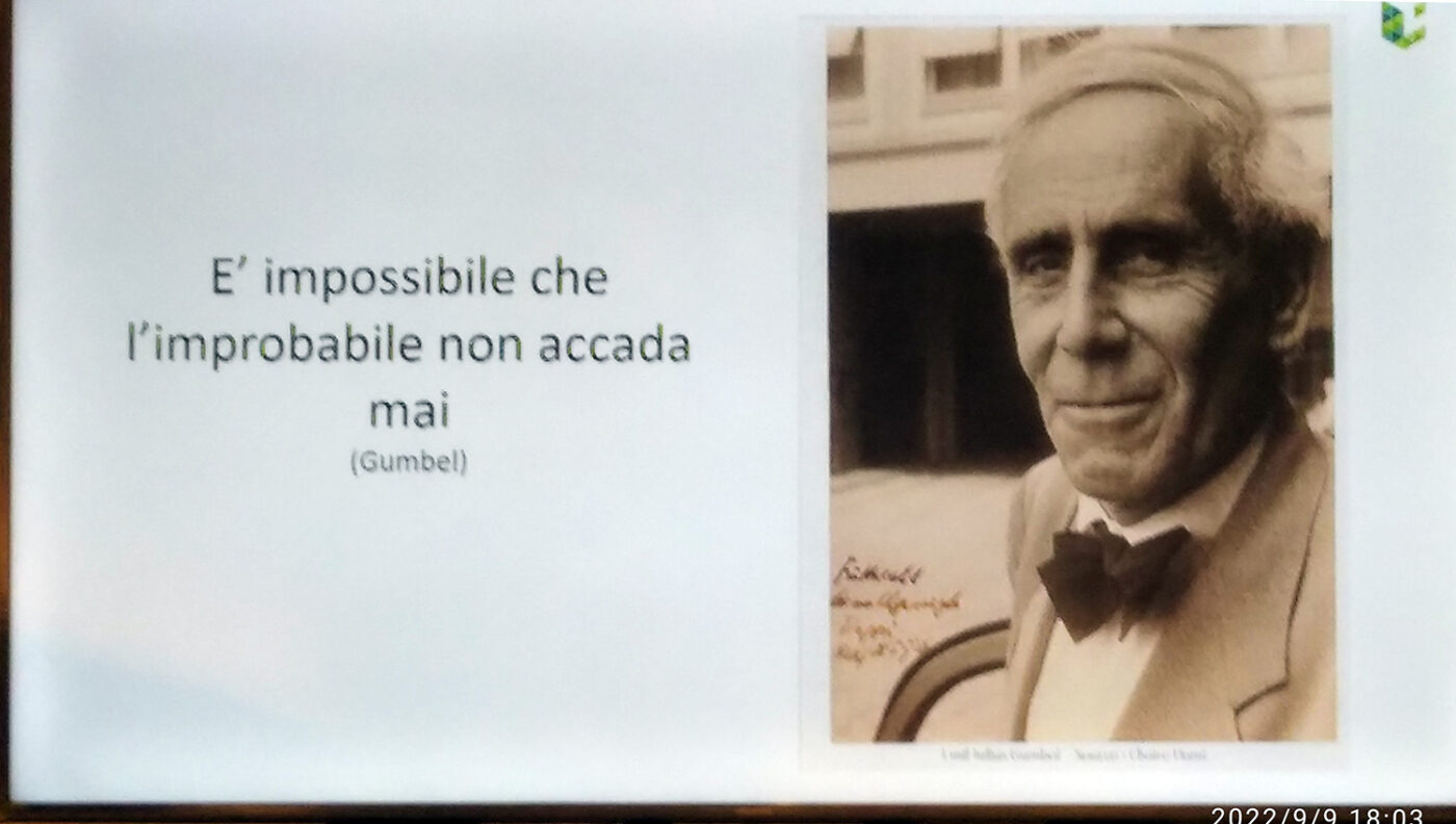
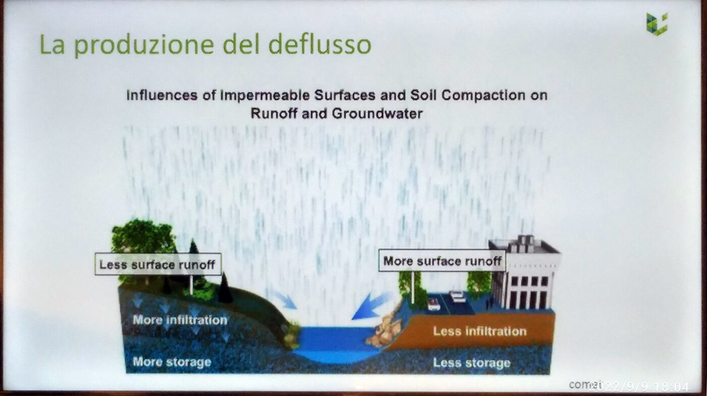
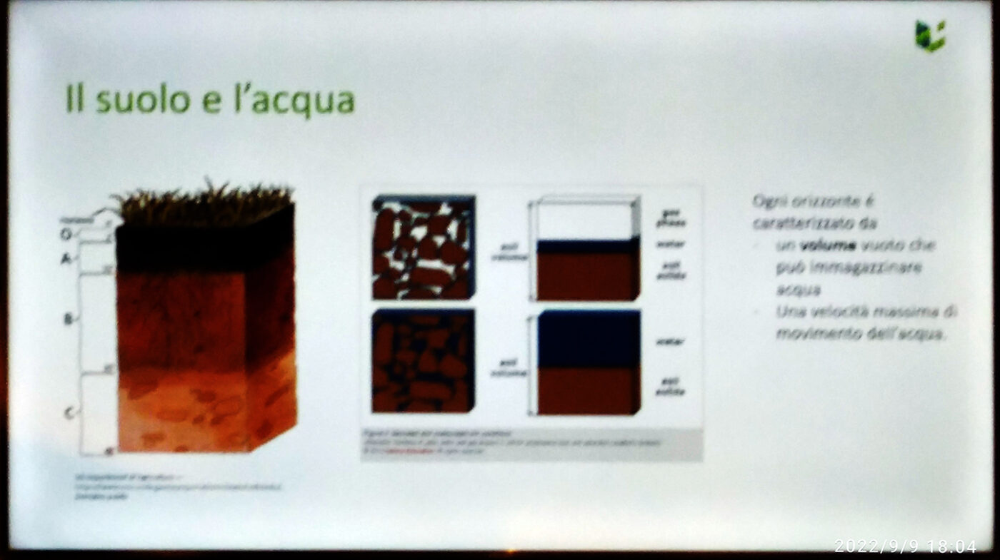
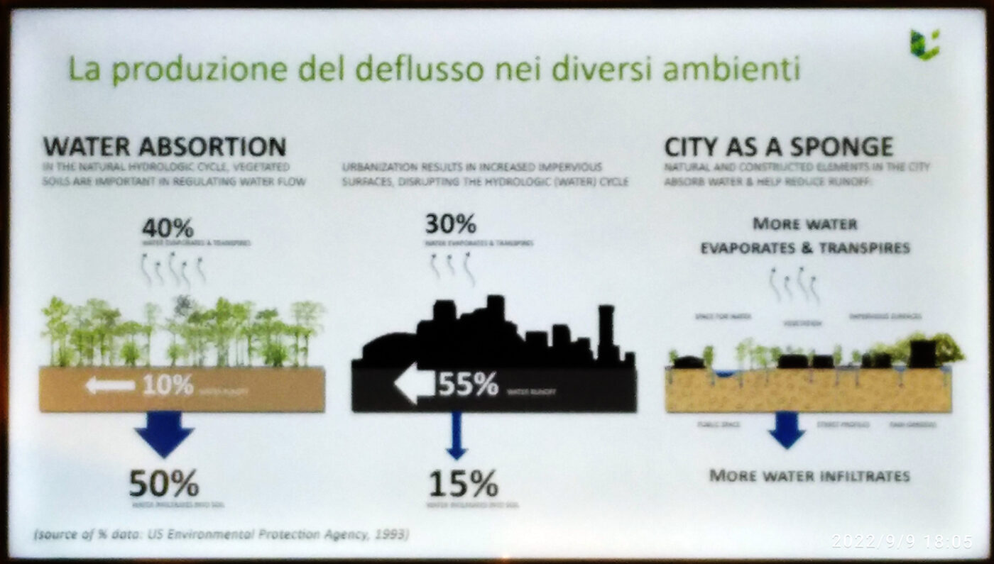
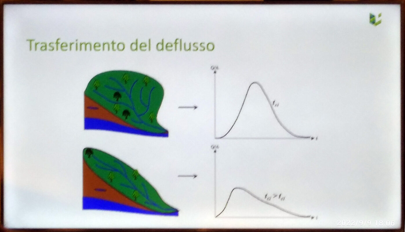
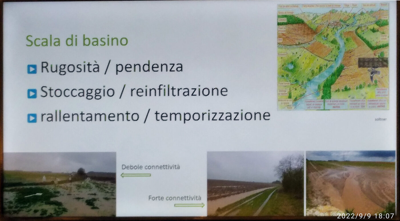
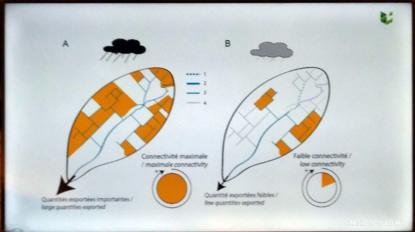
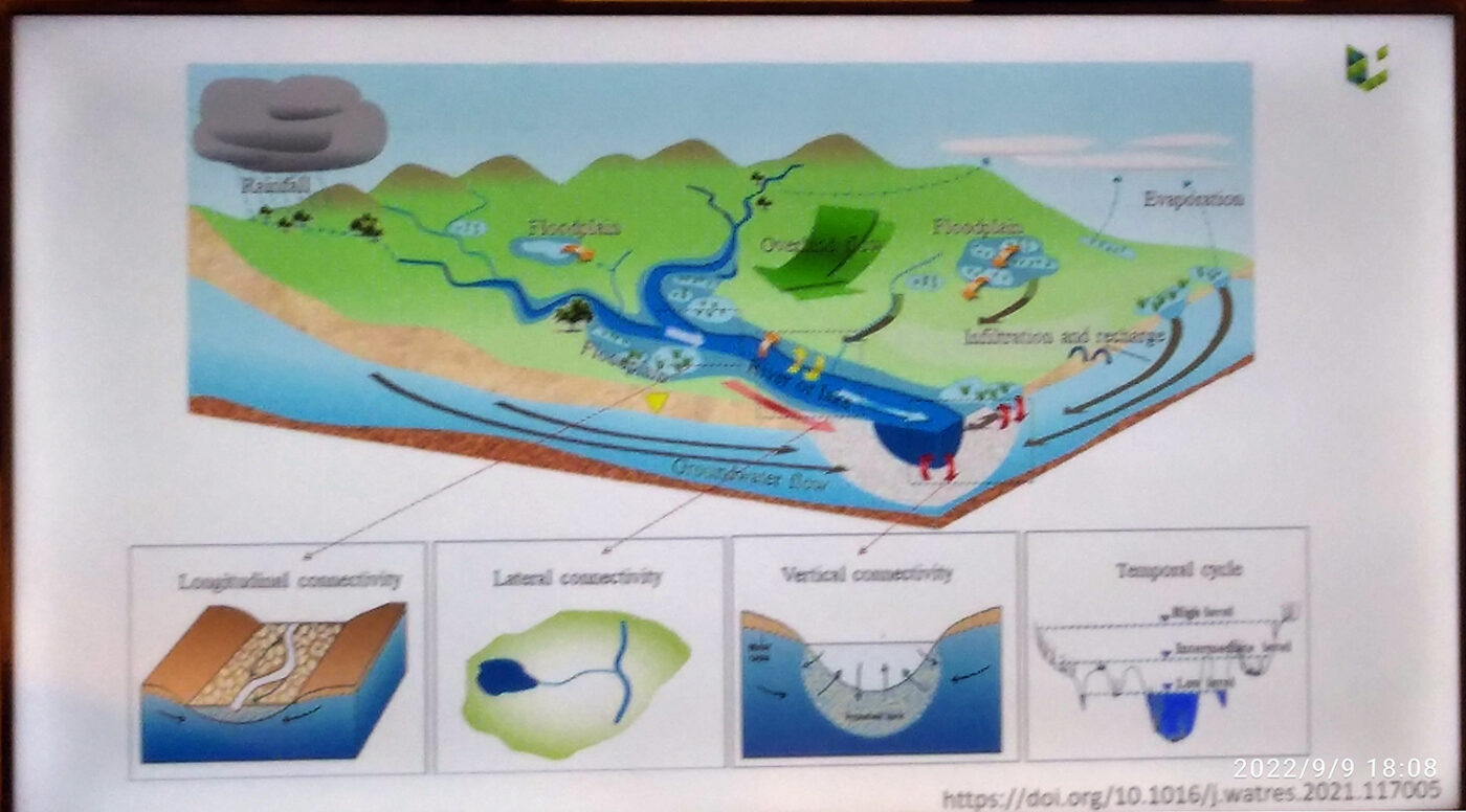
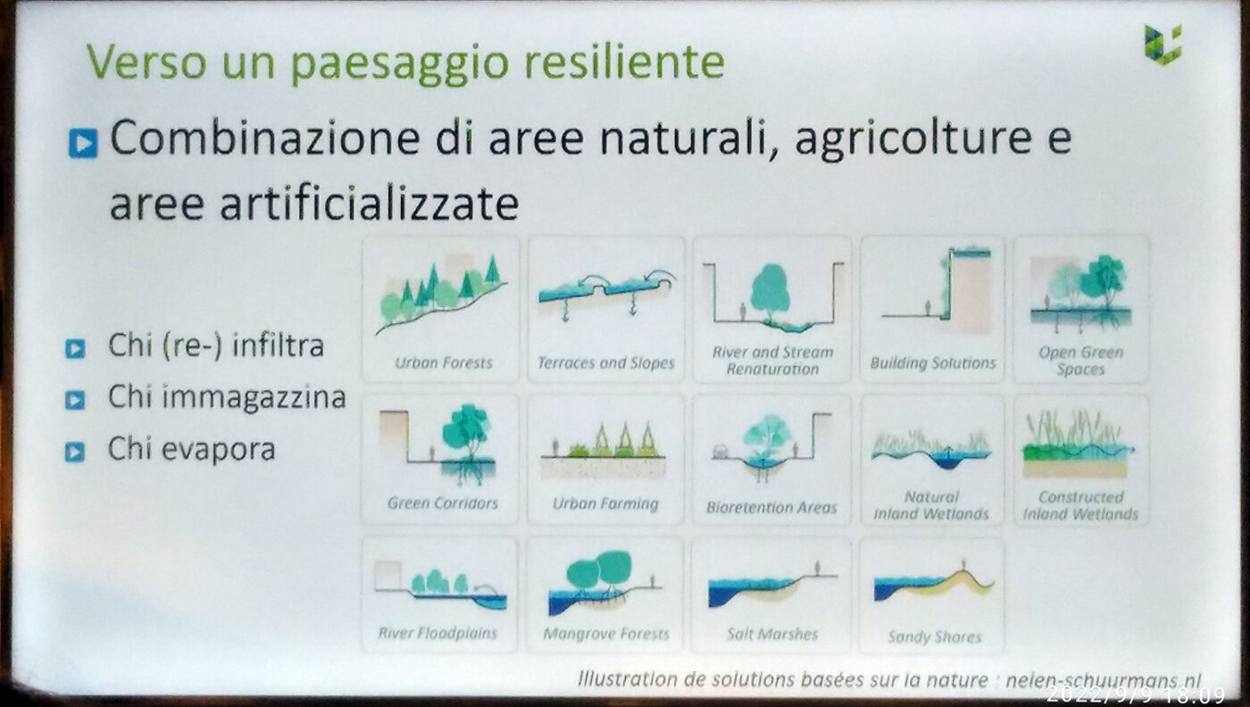
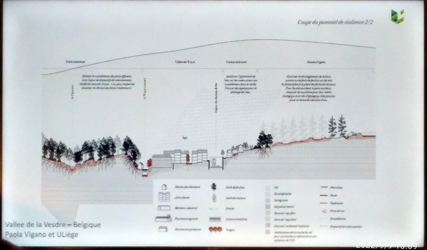
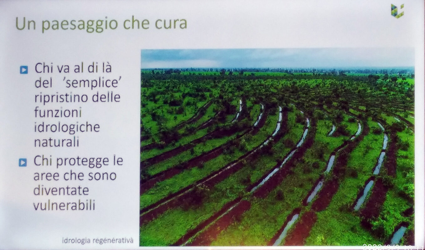
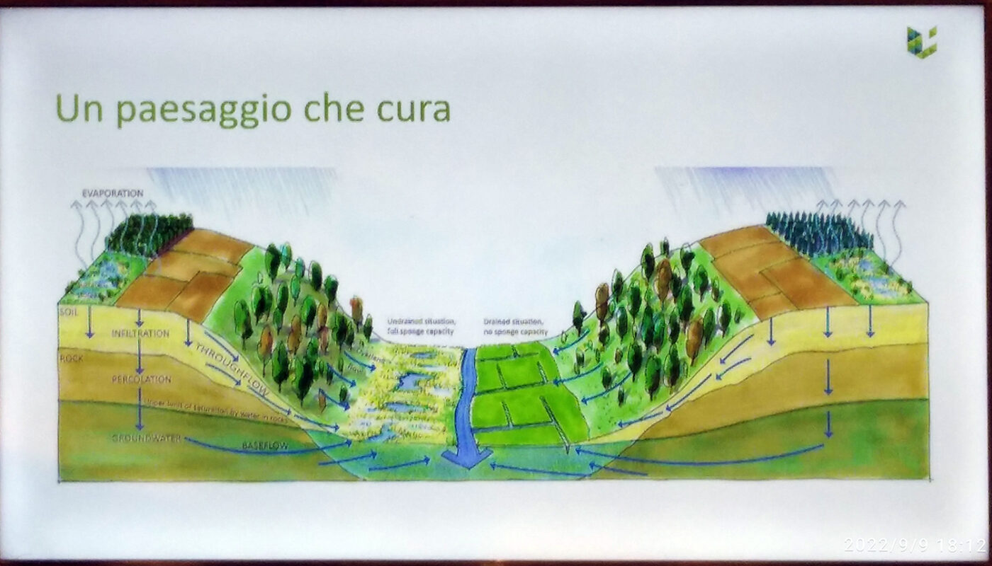
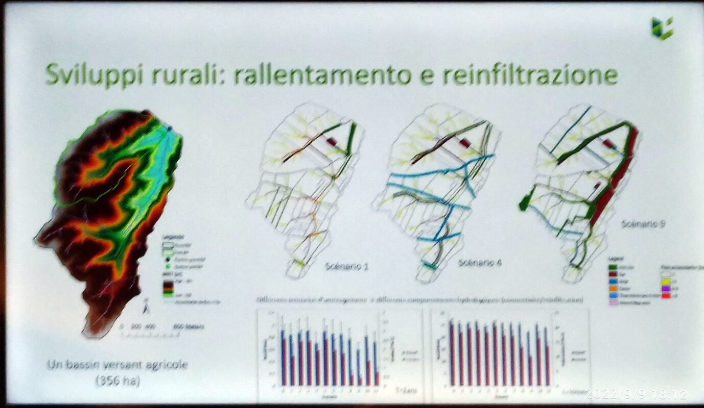
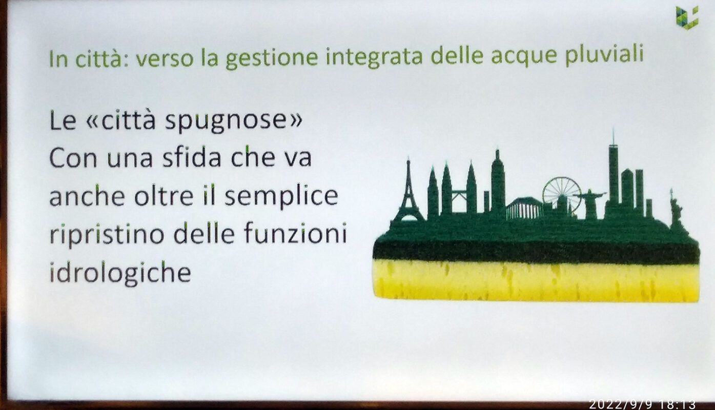
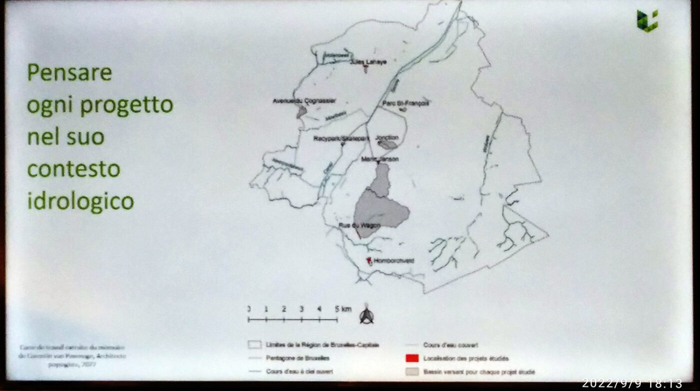
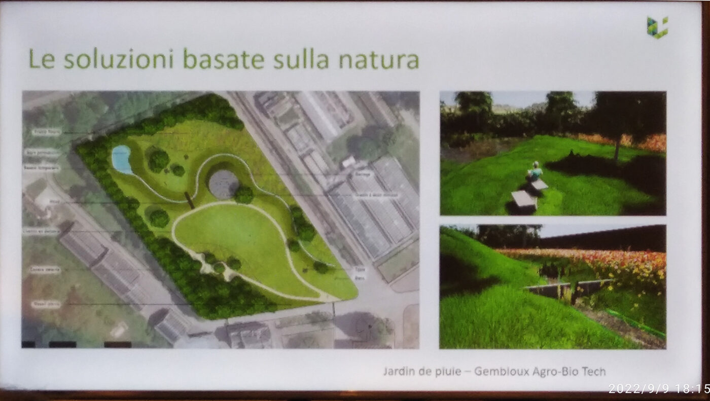
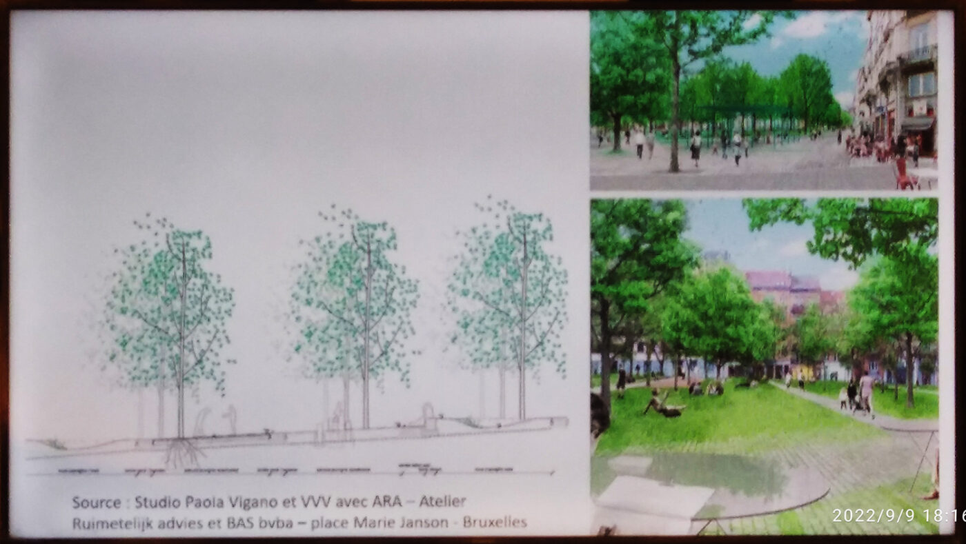
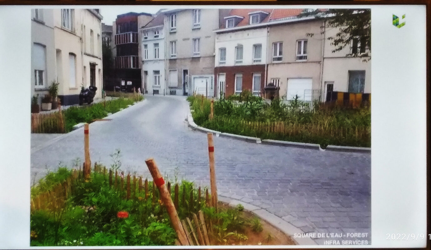
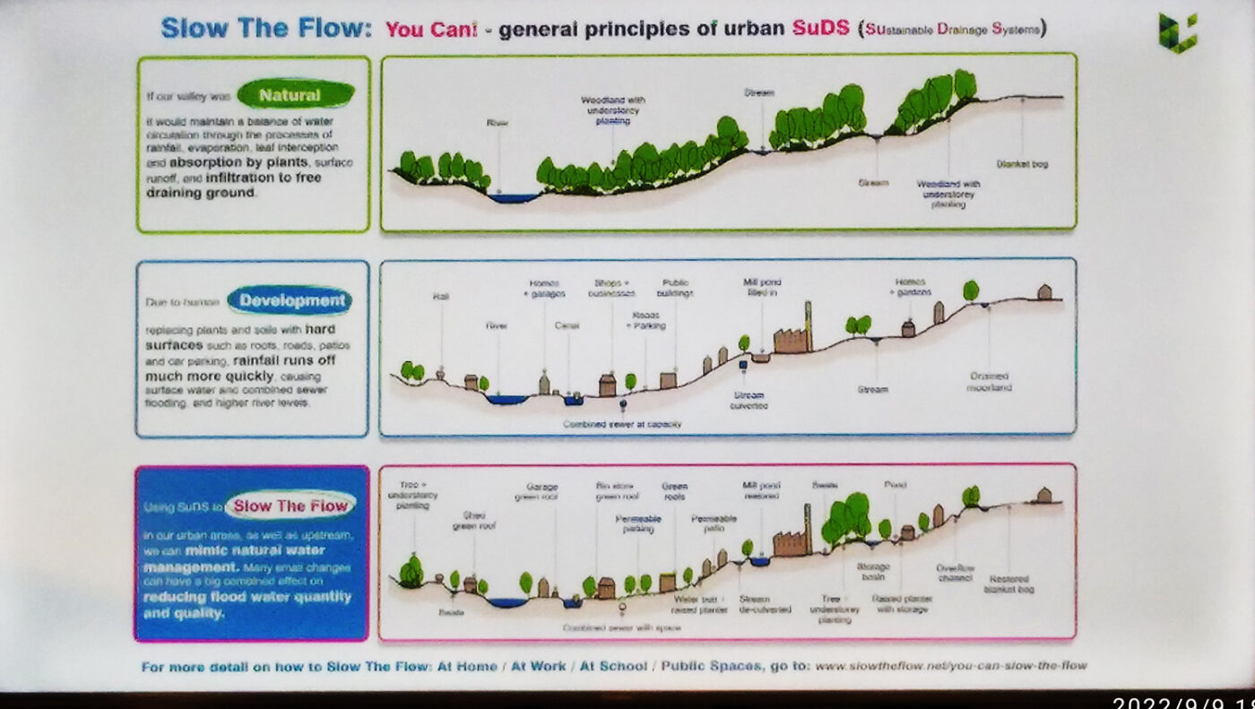
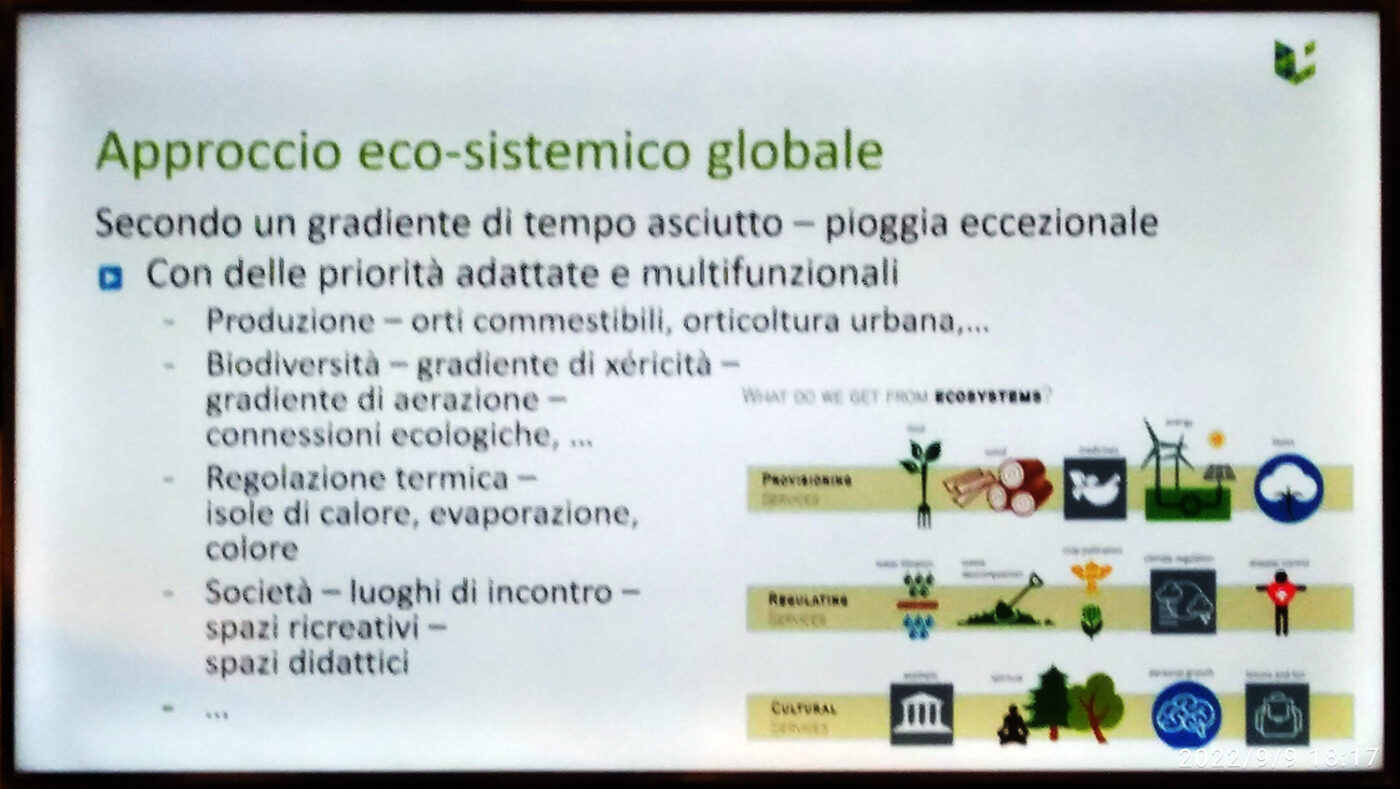
Aurore Degré’s speech focuses on the slides he presented. So I left the presentation to them. I hope this makes the absorption of information more fluid.
Sorry for the rendering of the photos. Below the images, I report the links to retrieve the studies and I count on the fact that there is a lot of material on the net to learn more about the subject.
THE ADVICE OF THE WORLD OF THE GARDEN
You can continue to find out about the afternoon Université d’Eté of the Masters of the Landscape with the next articles “UNIVERSITE ‘D’ETE’: BOMBARDIERI E SCHEGK” AND “UNIVERSITE ‘D’ETE’: DEJEANT-PONS AND PORCARI”
Now on horseback! Work awaits us! Our new wonderful outdoor space is about to be born!
GOOD WORK and … if you have any questions please write to info@mondodelgiardino.com


